

The study by our researchers, Réka Horeczki and Szilárd Rácz, along with their co-authors Ștefan Bilașco, Sorin Filip, Sanda Roșca, Irina Raboșapca, Iuliu Vescan and Ioan Fodorean, has been published in the journal Urban Science.
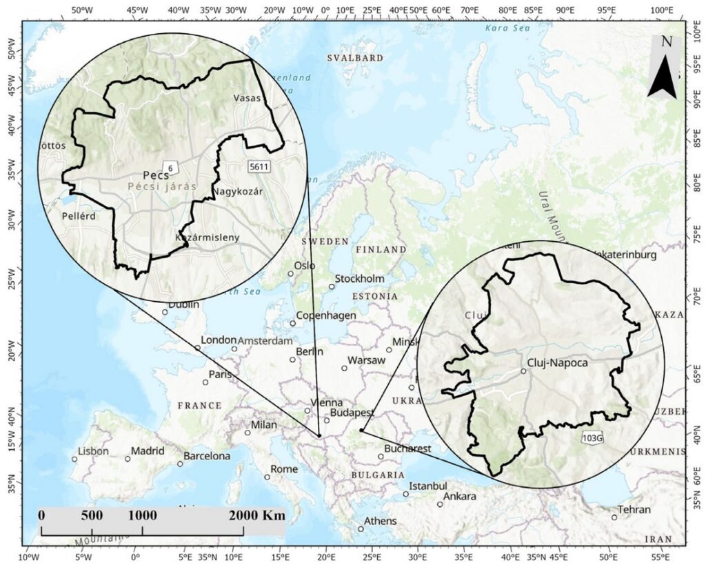
The concept of the 15 minutes city is increasingly present in the structure of spatial planning for large urban centers, with the main goal of improving quality of life by facilitating access to basic necessities for the population. This study aims to provide an integrated assessment of spatial accessibility for two urban centers that differ in structure and organization, with the main goal of identifying best practices that can be borrowed from one urban center to another in order to streamline sustainable spatial planning based on the strategic concept of the 15 minutes city. The entire research process is based on the development of a completely new and innovative GIS spatial analysis model that will add value to the specialized literature both through the geoinformational approach to the analysis, integration and through the exclusive use the freely available GIS databases (using the OpenStreetMap database), functionally integrated through network analysis and equations weighing the importance of accessibility needs for the population. For the analysis of pedestrian accessibility, in minutes, a total of 4826 locations were used for Cluj–Napoca and 5050 for Pecs, which were structured into 12 subclasses and five main classes (Recreational and Cultural, Public Services and Safety, Education and Health, Commercial, and Public Transport) established in accordance with the main requirements of the 15 minutes city development methodology. The integration of subclasses and accessibility classes was achieved by weighting their importance according to the responses obtained after the implementation of questionnaires to identify the working population’s perception of accessibility in their daily routine. The comparative analysis of the intermediate and final results of the proposed model leads to the establishment of directions and decision-making in the territorial planning process through the transfer of knowledge, solutions, and techniques between the two urban centers to eliminate or reduce negative hotspots and develop a more sustainable urban center in terms of accessibility and as close as possible to a 15 minutes city.
Read the full study in the new issue of Urban Science: https://www.mdpi.com/2413-8851/10/4/180